Riparian Metric
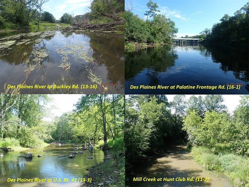
The riparian zone of a stream is the area adjacent to the edges of rivers, streams, lakes, and other water bodies. They differ from the surrounding uplands because their soils and vegetation are shaped by the presence of water. In the cQHEI and QHEI, the riparian metric includes information on the width of the zone, the influence of land uses outside of the immediate riparian zone and the condition of banks (i.e., degree of erosion).
Riffle/Run Metric
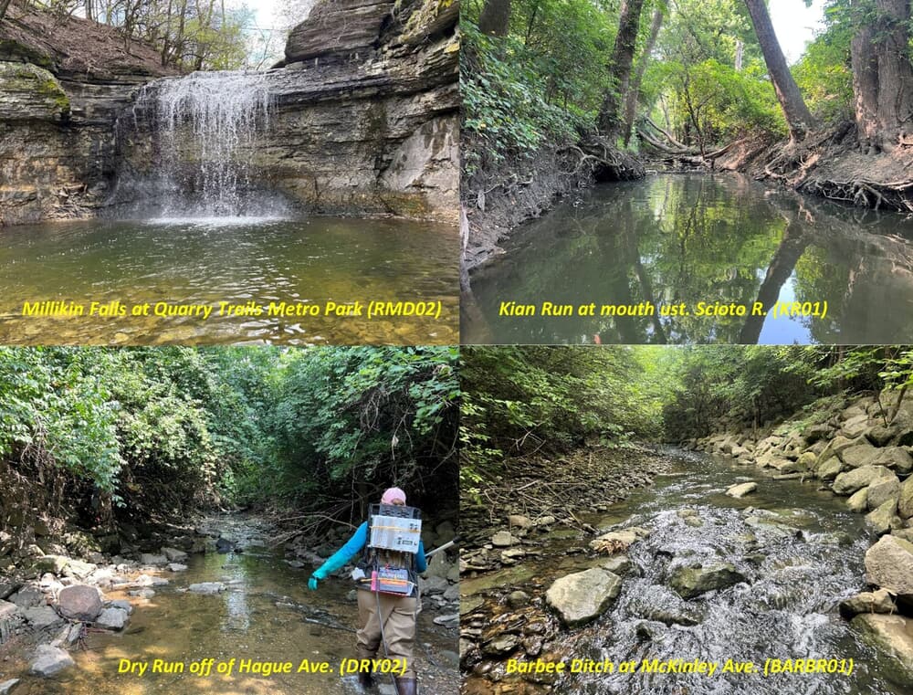
The riffle areas of the stream is where the water breaks over cobbles, boulders and gravel or where the surface of the water is visibly broken. These are relatively shallow areas of a streams. The run areas of a stream are generally deeper and rapid and are often located downstream from riffles or cover features that narrow the stream (e.g., logs). The cQHEI and QHEI rate riffle/run depth and characteristic substrate types which generally reflect the quality of these features for aquatic life.
Multimetric Index
An index that combines assemblage attributes, or metrics, into a single index value. Each metric is tested and calibrated to a scale and transformed into a unitless score prior to being aggregated into a multimetric index. Both the index and metrics are useful in assessing and diagnosing ecological condition.